
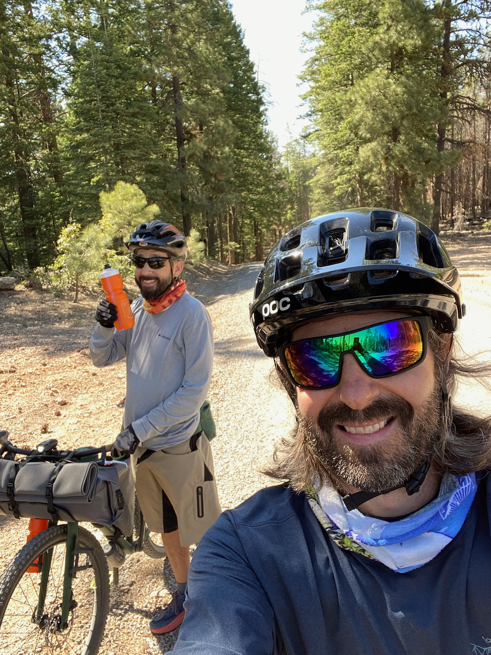
I did a pretty decent amount of backpacking in 2020 with my buddy Jim, and while we were hiking and camping out there, sometimes we talked about riding bikes. He was a mountain biker, and once upon a time I had been one too. The more we talked about trying out combining biking with backpacking, the more we got excited about doing it for real instead of just daydreaming about it. The idea of making better time on flat sections of trail, and zipping down speedy gravel roads, seemed really appealing.
Don’t get me wrong – I still loved backpacking on foot. It’s great, but super exciting is not the way I’d describe it (most of the time). Bikepacking seemed like a good way to move a little faster and have a little more fun along the way.
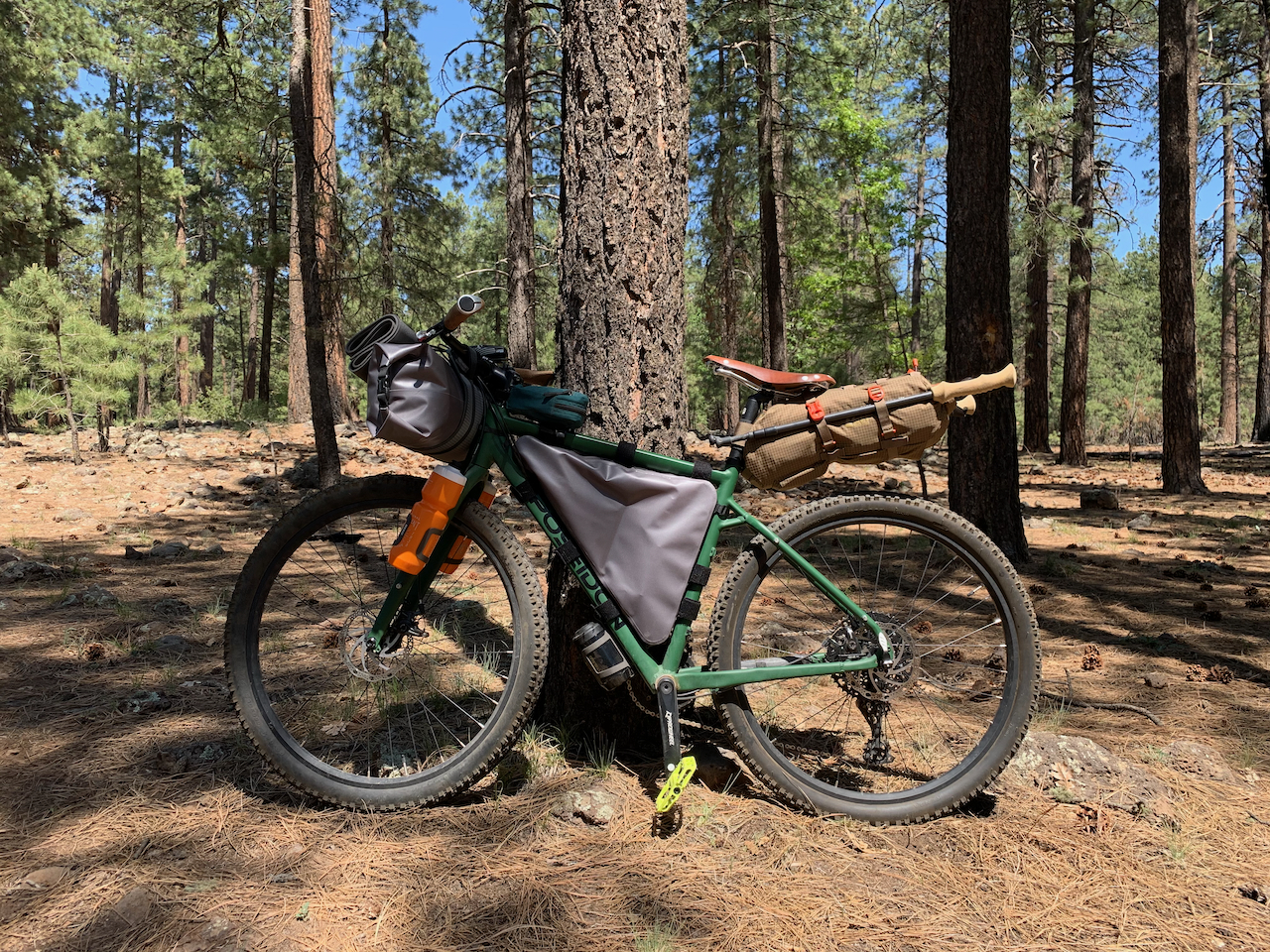
So I got a bike, and Jim upgraded his to something he felt was more bikepacking-friendly. We started collecting the assorted unique types of gear bags you strap onto a bike to transform it into a bikepacking rig. We already had backpacking gear so we didn’t need anything new for the camping part of it. We just didn’t have any good ways to strap gear onto the bike. So once we had that problem taken care of, it was time for our first official bikepacking trip.

The plan
Jim and I have both been chipping away at the total 800 mile distance of the Arizona Trail, so we put together a trip that would send us down Rim Road 300 along the edge of the Mogollon Rim until it connects with the AZT, and then head north along the trail from there for some singletrack. On paper, it didn’t look super challenging aside from a steep climb right up front just after starting out. From there we’d be heading north up to the Blue Ridge campground to fill up our water before heading down the Blue Ridge forest road a bit back to the AZT where we knew of an excellent campsite area. Our return the next day would be coming back out the way we came.
Day 1 – Forest Roads
I’m gonna say it right up front here – we underestimated the difficulty of this trip at pretty much every turn. We planned it as if we would be riding unloaded bikes, and we were not riding unloaded bikes. So we looked at the 25-ish mile distance we had planned for each day and thought it would be relatively casual and that we’d have plenty of time.
So. We left at an unhurried pace, drove for 2.5 hours to get to the clearing where we’d be parking, strapped our bags onto the bikes, and we were off. We burned a lot of the day in that process and did not end up getting started until 2:30. Looking back now, that seems mind-bogglingly ridiculous. Lesson learned.
We started almost immediately with the steep-for-us climb up Baker Butte, which was a slog, but it made for a fast zippy downhill coming right down the other side. Fun, but on an occasionally potholed forest road it was also a little sketchy. Maybe I worry too much, but I am concerned about hitting them too hard on an unsuspended gravel bike and either trashing the tire or sending me flying, or both. So it’s not very often I can just let it rip and enjoy the ride, and this was not one I could totally cut loose on. But still, a good time.
We had lights strapped to our bikes and turned on the day blinkers, because there was a lot of vehicle traffic and we were at times coming in and out of tree shade and wanted to make sure we were well visible. Also a lot of dust being kicked up from said vehicles, so we were pulling our buffs up over our faces regularly.
I knew going in that the climb up Baker Butte at the beginning of the ride was going to be tough, but I thought from there it was going to be a fairly level ride along Rim Road until we hit the AZT. I really thought that I had been on it before and that was how it was. Instead, it was a lot more rolling, with more climbing than I had expected, and thus, slower going. As I mentioned up top, this was a recurring theme for the trip.


This all sounds more negative than it was. The huge upside to riding Rim Road is that, as the name implies, it frequently runs right along the edge of the Mogollon Rim, and the views from up there are amazing. Part of the reason for our not-very-fast pace was because we were stopping often for views and photos.
After about 11 miles, we came to an intersection we had to discuss. By now, it was 4:30 and even though it was mid-summer and we had maximum daylight to work with, that still only meant a few more hours before sunset. We hadn’t made it to the AZT intersection yet, but this forest road we were standing at would shortcut us up to another intersection with it further north.
We took the shortcut. Not only did we have more than half the day’s planned distance ahead of us still, we also needed to take a side trip to a nearby campground to fill up our water for the night.
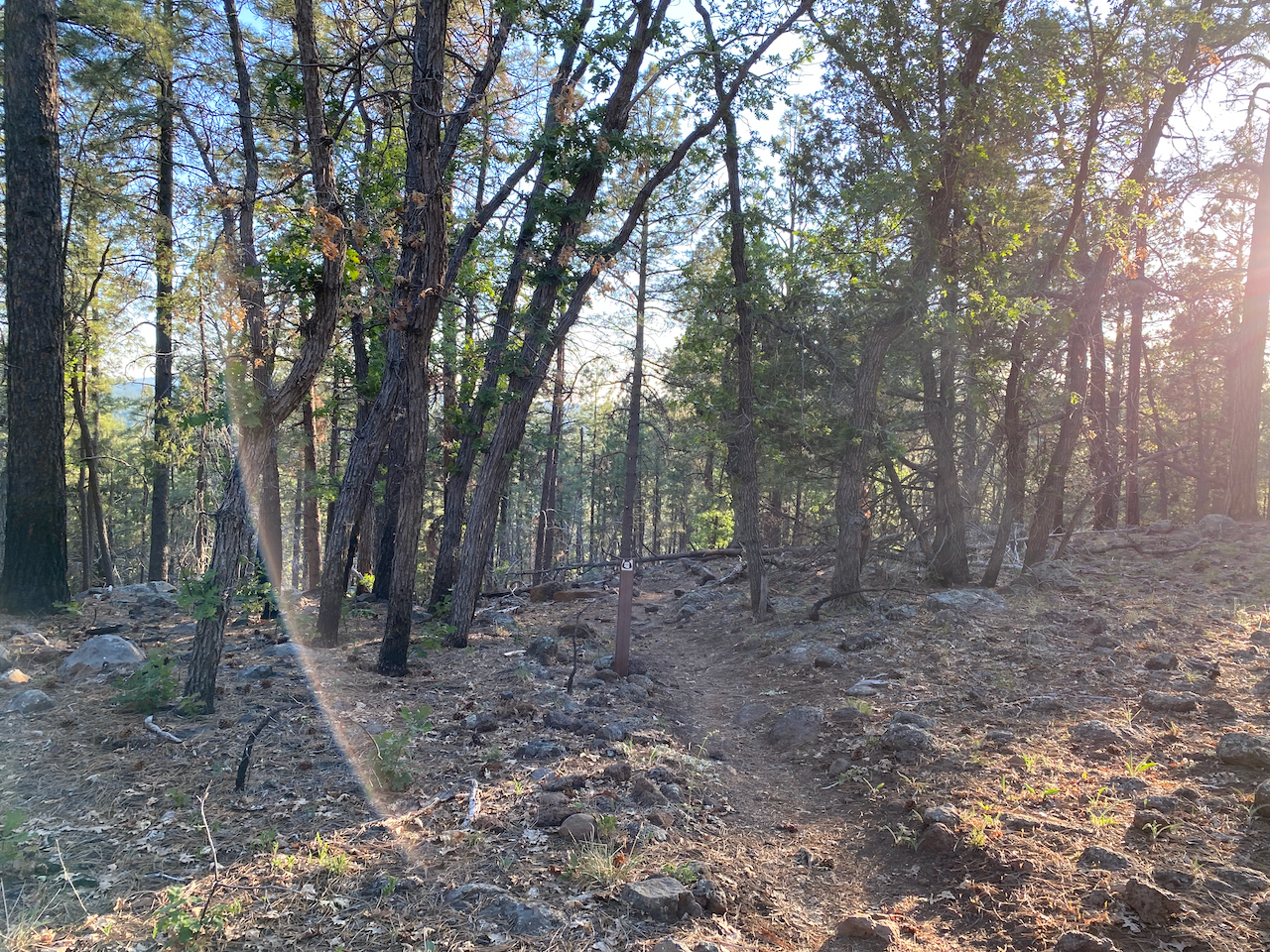
We reached the AZT intersection shortly enough and started down the singletrack. It was fun! More fun than we’d been having on the washboardy, potholey forest roads for sure. Relatively flat, but with low rolling hill climbs along the way – we were generally trending uphill so there wasn’t a lot of descending on the other sides of those hills… until we got to the big descent crossing the Blue Ridge reservoir.
The Blue Ridge Reservoir
For me and my meager riding skill, on a rigid gravel bike, this was completely unrideable.
The descent didn’t immediately drop into steep stair steps, so I was able to handle the early downhill as we first started down, but it didn’t take long before I dismounted and was walking my bike as it bounced its way down to the sandy crossing at the bottom. We got to the bottom and made our way across, and that was where the real fun started.

I’ve heard riders talk about “hike-a-bike” and how lousy it is, but in my head I always pictured what walking my bike uphill on a graded road feels like. It’s not great (and usually frustrating because I only do that when I’m tired), but also not terrible. It is such a different animal when you are trying to haul a loaded bike up steep singletrack. I had to push the bike forward and upward, usually up a trail stair-step, grab the brakes to keep it from rolling backward, and then pull myself up toward the handlebars where I could be in heaving position again. It did not take long before this became exhausting.
On paper, the actual numbers involved sound paltry – and by AZT standards, they honestly are. 3/4 of a mile from bottom to top, about 600 feet of ascent. The climbs up Mt. Lemmon (near Tucson) for example, go for miles and miles and thousands of feet of climbing. After this little adventure of ours, I can’t even fathom doing anything like that.
We took almost an hour to get to the top of the climb, with a break maybe 2/3 of the way up to seriously discuss whether this was the hardest thing we had ever done. But we did make it.
Worn out and mentally drained, we basically bounced our way down the trail from rock to rock, not even feeling up to trying to maneuver around them. We got our water from the campground and took the campground forest road back to the camp spot I call “Elk Hollow” (a story for another time) where we set up camp for the night.
Day 2
We abandoned our original plan of returning back to the car via the same route. Neither of us had any interest in repeating yesterday’s reservoir crossing. Instead, we fired up our digital maps and looked for navigation options that would take us back a different way, and we came up with something that looked like it would work. The only downside was that it would require some time riding on the shoulder of busy highway 87 and neither of us were thrilled about that either, but we were choosing between two evils – and the highway shoulder was the lesser.
The forest road ride to 87 was uneventful, and although the shoulder on the highway was meager, we made it safely down the several miles we had to cover on it. We made good time on the pavement, by far our best speeds of the trip, but we were glad to get back off of it when we came to our forest road exit.
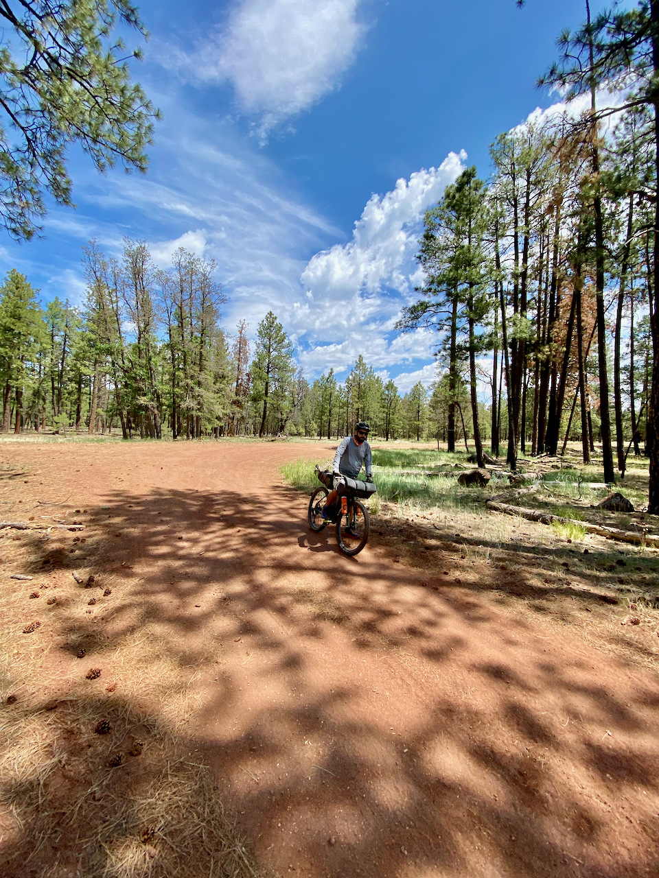
From there, a couple of hours of confusing navigation ensued. We didn’t have a straight line back to the car from there – instead we needed to navigate some intersections and turnoffs, and routes up there are so fluid that what we were riding and what we were seeing on the maps did not always agree. We had to backtrack more than once, and toward the end we covered a big stretch of the remaining distance on a road we could see under us that did not show on the map.
We finally made it back to mapped roads and finished the ride to the car, complete with one more climb and descent of Baker Butte. Fun!

Conclusion
I’m not really sure how to rate this trip. Success? Trainwreck? Some of both? We did end up having fun in that Type 2 Fun kind of way. It was definitely a learning experience in a “doing a new thing” way that I haven’t had in a long time. I think I need more practice at it before I try another singletrack trip, but I’d like to do another one that travels gravel roads for sure. I guess we’ll see!
